If a standard architectural portfolio is a magnifying glass, an urban design portfolio is an orbital satellite.
When a standard architect pitches a firm, they are presenting the blueprint for a single skyscraper. When an Urban Designer or Master-Planner pitches a civic government or a massive private equity group, they are presenting the blueprint for a twenty-block financial district, complete with public transit routing, subterranean water tables, and sociological zoning impact analysis.
The scale of data involved in urban master-planning is absolutely suffocating. When an Urban Designer attempts to squash a 3-mile topographic GIS map into a generic, rigid website grid, the data becomes visually destroyed. To secure multi-million dollar civic contracts, an urban design portfolio must synthesize massive datasets into an accessible, highly legible digital narrative.
1. Controlling the Vector Zoom Limit
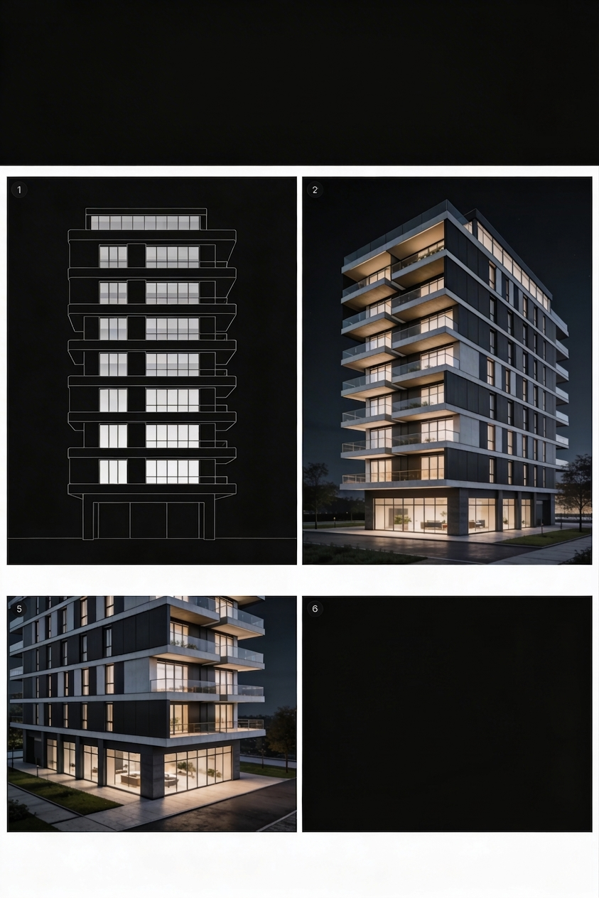
The most critical asset in an urban design portfolio is the Masterplan (usually a massive, highly detailed top-down map of the proposed civic area).
If a city council member views your portfolio on a tablet and cannot physically zoom in to read the street names or the designated public park boundaries on your masterplan, you lose the bid.
You must export your masterplans as high-fidelity SVG (Scalable Vector Graphic) files or ultra-high-resolution WebP images. Your digital portfolio platform must natively support 'Deep Zoom' Lightboxes, allowing the civic board to click the map and seamlessly zoom deeply into the neighborhood blocks without experiencing pixelation.
2. Pacing 'The Story of the City'
A civic project is inherently political. A city council does not approve a massive waterfront redevelopment solely because the buildings look nice; they approve it because it solves a sociological or economic crisis.
Your digital layouts must enforce a strict, text-driven chronological narrative. Phase A: The Demographic Crisis. Begin your case study with data. Show minimalist infographics or heat-maps detailing the actual problem (e.g., "Transit density failures in the South Ward causing a 15% drop in retail revenue"). Phase B: The Masterplan Intervention. Upload the massive, zoomed-out 2D masterplan showing the new transit routes and zoning sectors. Phase C: The Human Scale. Finally, drop down to street level. Show the beautiful 3D atmospheric renders of happy citizens walking down the newly designed, tree-lined pedestrian avenue.
By starting with the data and ending with the human emotion, you generate a bulletproof political argument.
3. Isolating the Data Sets
When dealing with urban planning, you generate dozens of highly specific diagrams for a single project (Sunlight/Shadow studies, Traffic Flow arrows, Flood Plain elevations).
Do not pepper these hyper-technical diagrams randomly between your beautiful 3D cityscape renders. It creates visual chaos. You must isolate the data.
Create a dedicated "Technical Appendix" block at the bottom of the digital case study. Use a clean 3-column or 4-column masonry grid specifically to host these GIS and environmental sub-studies. If an engineering board member wants to analyze your flood control data, it is easily locatable at the bottom of the logic tree, entirely separated from the emotional marketing renders at the top of the page.
4. Establishing Civic Authority
Because you are asking a city government to trust you with a billion-dollar public works timeline, your website cannot afford to look like a messy student art project.
The architecture of the website must project extreme fiscal authority. Use heavily structured, rigid grid alignments. Ensure your typography is a flawless, highly legible modern Grotesk typeface. Embrace absolute minimalism. The website should feel like reading a high-end corporate financial report, not a fashion blog.
Synthesizing the complexity of an entire city into a single URL requires powerful digital capacity. By building your firm's presence on Portfoliobox, master-planners leverage unmetered CDNs and massive component layouts that effortlessly host the extreme data weight of urban design — no coding required.